By Clint Thompson
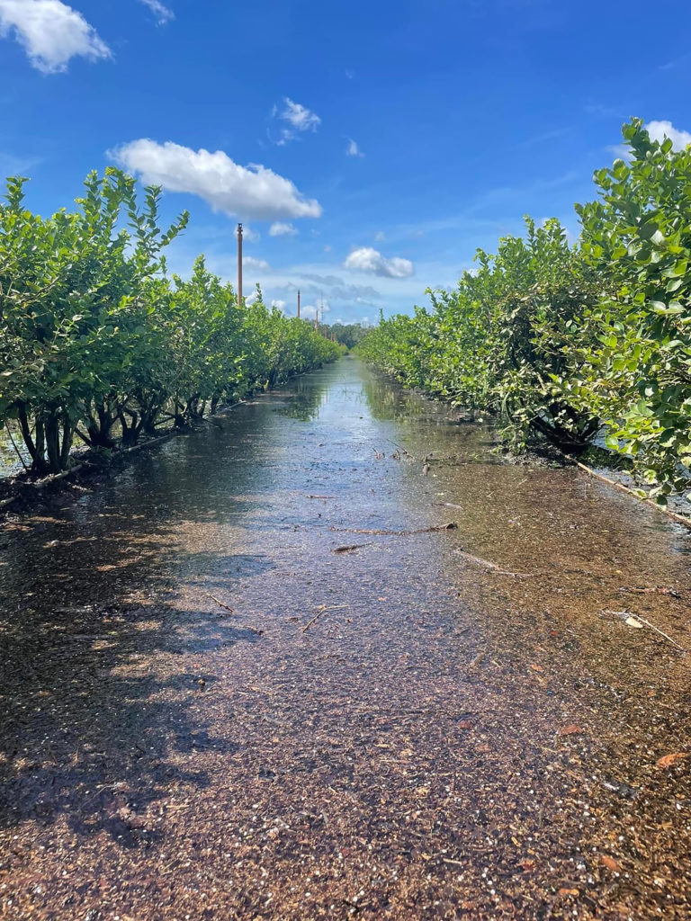
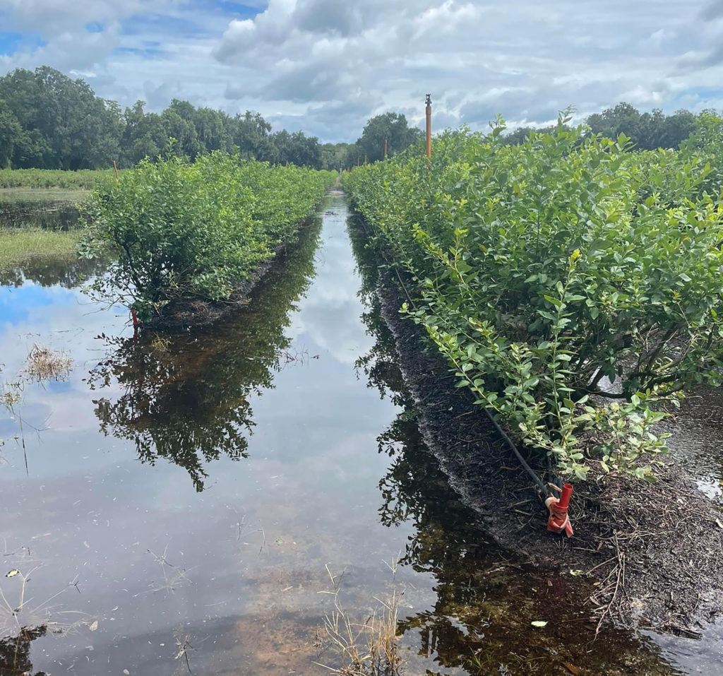
Hurricane Debby was bad enough for Florida’s specialty crop producers, especially with its excessive rains. One blueberry grower is concerned about what may follow, as some of his blueberry bushes remain under water.

“The problem you get with these things is what happens next week? They’re showing more tropical activity. They’re saying over the next couple of weeks, intense tropical activity is coming towards Florida,” said Ryan Atwood, who lives in Mount Dora, Florida and farms 56 acres of blueberries, manages another 350 acres and is part-owner of the largest packing house in the Southeast United States.
“It doesn’t have to be a 100-mile per hour hurricane. It could just be multiple tropical systems that dump six or nine inches of rain. At some point, all of the canals fill up. All of the lakes are full. Everything is full, and then it just backs up, and you can’t get it off your property.”
Atwood said rain accumulations from the storm totaled anywhere between six and nine inches on his multiple blueberry farms. As of Thursday, standing water still resided on some of his blueberry fields.

“The further you go west, the worse it gets. The stuff over where I live has not really been affected too much. Hopefully, it’ll be historic where almost in a few days we’ll get that water off and it shouldn’t affect us too much,” Atwood said. “Now, the longer that water stays there, then you get more and more problems. If we can get a couple of days of no rain and run those pumps and get that water off, then I think we’ll be all right.
“One of the keys with that is you’ve got to keep the water moving. You’ve got to keep it oxygenated. If it stagnates, if it sits there, then it’s worse. The duration of how long it sits under water is important. If we can get the water off in a couple of days, it’s probably not an event of much concern.”
Pam Knox, University of Georgia (UGA) Extension agricultural climatologist, noted in her UGA Extension Climate Blog, that Colorado State University (CSU) provided two-week outlooks for tropical activity, specifically in the Atlantic Ocean. For activity from Aug. 6-19, CSU believes the most likely category for Atlantic hurricane activity in the next weeks is above normal or 85%.
“That’s the concern I have, if you start stacking these events. It’s early August. We’ve still got three good months of hurricane season. A lot of times in Florida we’ll catch one in early November,” Atwood said.


