By Clint Thompson
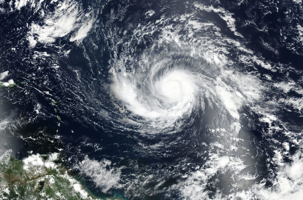
Idalia continues to churn towards the Southeast. The warm waters in the Gulf of Mexico are helping what could be a major hurricane by the time it makes landfall in Florida, develop in its path to the state’s west coast.

Pam Knox, University of Georgia (UGA) Extension agricultural climatologist, discussed the warmer gulf temperatures and their impact on Idalia.
“Some of the temperatures are much above normal. This is already a hot time of year, but they’re definitely some of the warmest ocean temperatures on record for that part of the world. That is jet fuel to any hurricane that would go over it, because it needs that warm water and moisture to really develop a good vertical circulation,” Knox said. “The models have now picked that up and are predicting that it’s going to intensify rapidly.
“(Sunday), the storm was still pretty disorganized, and then when I was watching (Sunday night), all of a sudden it started to pull itself together. It was drifting south most of (Sunday), just not doing a whole lot. In the last few hours of (Sunday), all of a sudden, it started showing some development near the center, and it started to get itself more organized. As it gets more organized, then it’s easier for it to grow, because it’s got all inflow of warm temperatures and humidity that really fuel the storm.”
The current path has Idalia impacting the upper west coast of Florida some time Wednesday morning and moving through Southeast Georgia Wednesday afternoon.
“It’s probably not going to be like Michael and go to a Category 5, but it will probably go to a Category 3 which is strong enough to be considered a major hurricane,” Knox said. “I was looking at the map (Monday) morning, and it could hit Southeast Georgia as a hurricane.
“It won’t be as strong as Michael was, but that’s stronger than Irma was. You remember how much damage Irma did. Irma came into Georgia as a strong tropical storm. It’s probably going to be, for that area of the state, at least as strong as Irma was.”


